

Geology Waysides
Waysides Within The Park
Here at Big Bend National Park, there are many informational road waysides along the park roads describing anything from climate and environments to pioneer ranches and farms. In addition to the trail waysides at the Fossil Discovery Exhibit, there are also many waysides throughout the park that focus on the geology of the park.
Below are the listed geology waysides in the park with basic descriptions and locations:
**While the listed waysides are about geology, we suggest that you stop at every wayside to learn more, interesting information about Big Bend National Park. **
-
![]()
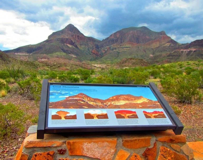
NPS Photo / A. Atwater Goat Mtn Wayside
-
![]()
NPS Photo / A. Atwater Fins of Fire Wayside
-
![]()
NPS Photo / E. Sims
-
![]()
E. Sims
-
![]()
NPS Photo / A. Atwater Badlands Wayside
-
![]()
NPS Photo / A. Atwater Windows View Trail


A List of Geology Waysides
-
Sedimentology: Ancient Water Flow Creates Sediment Beds
Describes how geologists know that an ancient stream created the sandstone beds from the geologic features in the rocks and how fossils are preserved in such rocks.
Volcanism in the Chisos Mountains
Informs us about the Chisos Mountains volcano in the time after the dinosaurs and the rise of the mammals.
-
(Mileages are from the start of Ross Maxwell Scenic Drive.)
Chisos Mountains (~2 miles)
Outlines the formation of Chisos Mountains due to volcanism and erosion.
Fins of Fire (~4 miles)
Describes the formation of the igneous dikes near the Chisos Mountains and how erosion gave them their “fin”-like appearance.
Burro Mesa Pouroff Trailhead Sign
Goat Mountain (~15 miles)
Depicts the cause of the peculiar shape of Goat Mountain due to an explosive volcanic eruption.
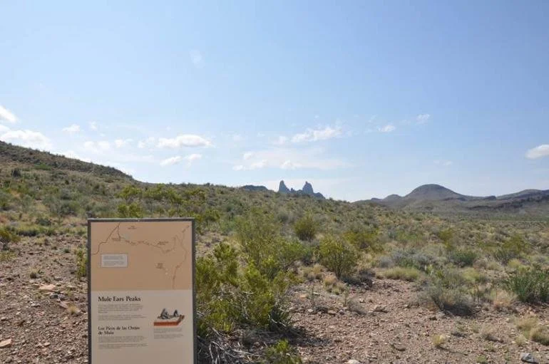
Mule Ears Viewpoint Trailhead Sign (16 miles, via Mule Ears Road)
Tuff Canyon
Santa Elena Canyon Overlook (~30 miles)
-
(Mileages are from Panther Junction to wayside location.)
Sunken Block (Coming Soon)(~15 miles)
Shows the “Sunken Block” of Big Bend that is bordered by the Sierra del Carmen to the east and the Mesa de Anguila to the west.
Boquillas Canyon Overlook
Details how Boquillas Canyon was carved by the Rio Grande River and tectonic events.
-
(Mileages are from Panther Junction to wayside location.)
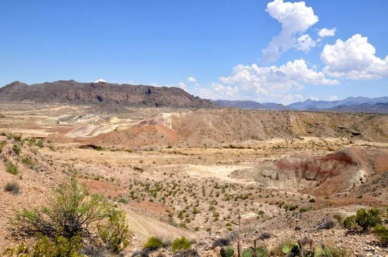
Badlands (Located right before western entrance station as you go to Study Butte)
Details the formation of the canyon in the painted hills due to sediment slumping and flash floods.
Volcanism in Big Bend National Park (Coming Soon)(2.5 miles)
Conveys the periodically volcanic environment during the time of the mammals that produced many of Big Bend’s mountainous landscape.
-
The Extinction of the Dinosaurs (Coming Soon)(~11 miles)
Showcases the Black Peaks Formation that records the extinction of the dinosaurs and the rise of mammals.
-
Volcanic Origins
Describes the volcanic origins of the Chisos Mountains and the subsequent formation of the Chisos Basin.
-
Grapevine Hills Trailhead Sign

Thank You!
This exhibit was made possible by the donations of generous supporters of the Big Bend Conservancy. Their legacy will continue to provide visitors with a world class exhibit experience for years to come.